(Cover image: Collins, Elias, and other members of the Sengwer community overlooking their ancestral territory | Collins Ndiema)
Co-authored by Aliya Ryan and Elias Kimaiyo
This article combines reflections from Aliya Ryan with edited excerpts from an interview with Elias Kimaiyo, a Sengwer leader coordinating community mapping efforts in Kenya.
A couple of months ago I received a WhatsApp message on a Sunday morning from Collins Ndiema, one of the Ogiek of Mount Elgon, Kenya, supporting Chepkitale Indigenous People Development Project's team of biodiversity monitors. He was asking about a change within the new release of CoMapeo. I responded as best I could, and suggested we could talk things through more the following week. When we next spoke, he told me that the question had come up during a training he was doing for the Sengwer, a neighboring Indigenous people and ally of the Ogiek, who he had been supporting to set up CoMapeo to monitor their forest restoration.
I had no idea he was running this training, and it turned out neither did the other organizations supporting the Ogiek's mapping and monitoring work.
This was one of a growing number of moments over the past year when we learned that CoMapeo's reach was extending far beyond the trainings we facilitated. Indigenous communities were choosing to teach one another, adapting the tool and sharing it through relationships built on trust, shared experience, and a common commitment to protecting their territories.
This Indigenous Peoples' Day, we recognize the Indigenous people around the world who are generously sharing their knowledge and skills—often without formal training or compensation—with others who are caring for and defending their homelands.
Collins is one of those leaders. Reflecting on his experience supporting the Sengwer, he told me: "As someone coming from a very similar context and facing similar threats, I could understand immediately what was needed. I was able to share information and ideas in ways, and with examples, that made sense to them."
For Collins, the impact went beyond sharing technical knowledge. He believes learning from another Indigenous trainer gave the community greater confidence in both the process and their own abilities: "It gives them a sense of hope. If I was able to do this and become a trainer, then they know they can learn and apply it too. It makes them feel that it is possible."
Supporting community-to-community learning has long been part of Awana Digital's approach. While we also run dedicated train-the-trainer workshops, the most meaningful examples often emerge organically through long-term partnerships. As communities build confidence with CoMapeo and mapping and monitoring methodologies, they also build the confidence to teach others, sharing knowledge, strengthening relationships, and supporting neighboring Indigenous communities facing many of the same challenges.
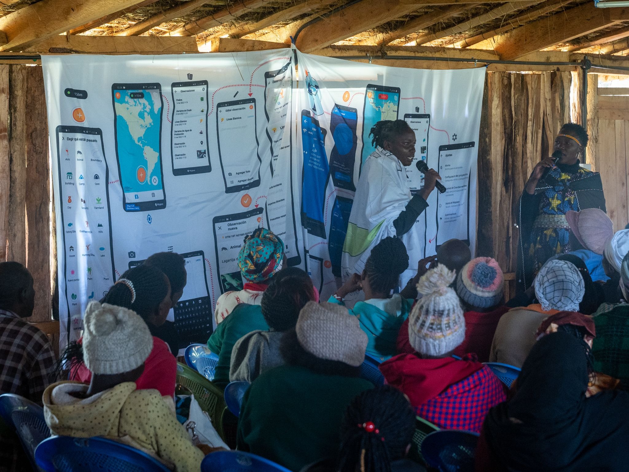
When trainings happen like this, spreading organically from one community to another, it is one of the clearest signs that a tool has truly become community-owned. These exchanges are evidence that we have built a tool communities can truly make their own. They also reflect the strength of our co-design process, which builds deep knowledge, confidence, and a lasting sense of ownership among our community partners.
More importantly, it reflects something much older than the technology itself: the long tradition of Indigenous communities learning from, supporting, and building relationships with one another. These exchanges strengthen solidarity, expand local expertise, and can also provide a way for these communities to respond collectively as they defend their lands, rights, and ways of life from the threats and challenges they face.
To better understand the power of community-to-community trainings I asked Elias Kimaiyo, the Sengwer leader who is organizing his community’s mapping work, to reflect on the trainings Collins has been running and the impact they are having in his community. The mapping work is being done in coordinated by the Sengwer Embobut Community Based Organization (SEECBO).
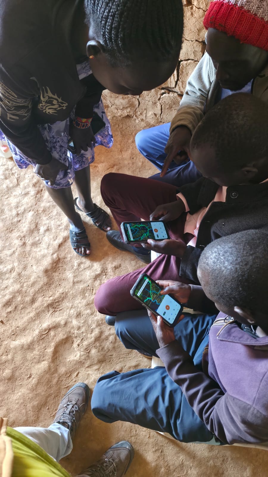
Drawing on his responses, Elias reflected on why learning from another Indigenous community mattered - and what it has meant for the Sengwer.
“Learning skills from a fellow Indigenous mapper was empowering. It demonstrated that Indigenous peoples are not merely beneficiaries of projects but are experts and leaders… When Indigenous peoples lead trainings, communities are more engaged, the knowledge is better understood and applicable, and the outcomes are more sustainable.”
The training was easier to relate to because Collins understands the importance of ancestral lands, sacred sites, customary boundaries, and the challenges we, as Indigenous communities, face regarding land rights and conservation. His own community faces many of these same issues too and has been working with them in their own territorial mapping process. Collins therefore did not approach mapping merely as a technical exercise, but as a tool for protecting Indigenous identity and knowledge while strengthening territorial rights and community-led conservation.
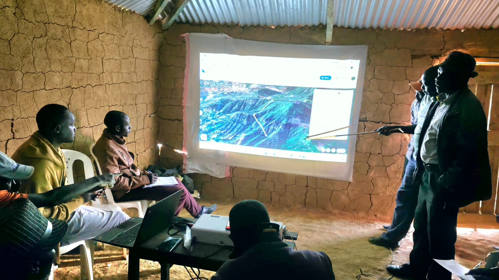
Unlike external trainings that can be theoretical or highly technical, this Indigenous-to-Indigenous learning created an immediate sense of trust and openness. Members of my community felt comfortable asking questions and sharing sensitive information because they knew Collins had faced similar experiences, including land dispossession, marginalization, and struggles for recognition. The elders could also speak freely in their own language, knowing Collins understood the nuances of our traditional knowledge systems and community protocols.
Most importantly, learning from a fellow Indigenous mapper was empowering. It demonstrated that Indigenous peoples are not merely beneficiaries of projects but are experts and leaders, capable of producing high-quality maps and evidence to support advocacy, customary land governance, environmental stewardship, and the protection of their rights.
The mapping skills we learned will not remain with a few individuals but will continue to be shared throughout our community. We intend to use participatory mapping to document and protect our ancestral territories while strengthening community decision-making and the defense of Indigenous rights. By creating a network of Indigenous community mappers, we can ensure this knowledge is sustained, shared across generations, and continues to support our communities into the future.
Trainings like these are powerful because they strengthen solidarity between communities, build our confidence in our own abilities and skills, and contribute to self-determination. With communities, such as the Ogiek of Mount Elgon, who are facing similar challenges, we can share practical solutions, inspire one another, reduce dependence on external actors, and preserve and honor Indigenous knowledge systems.
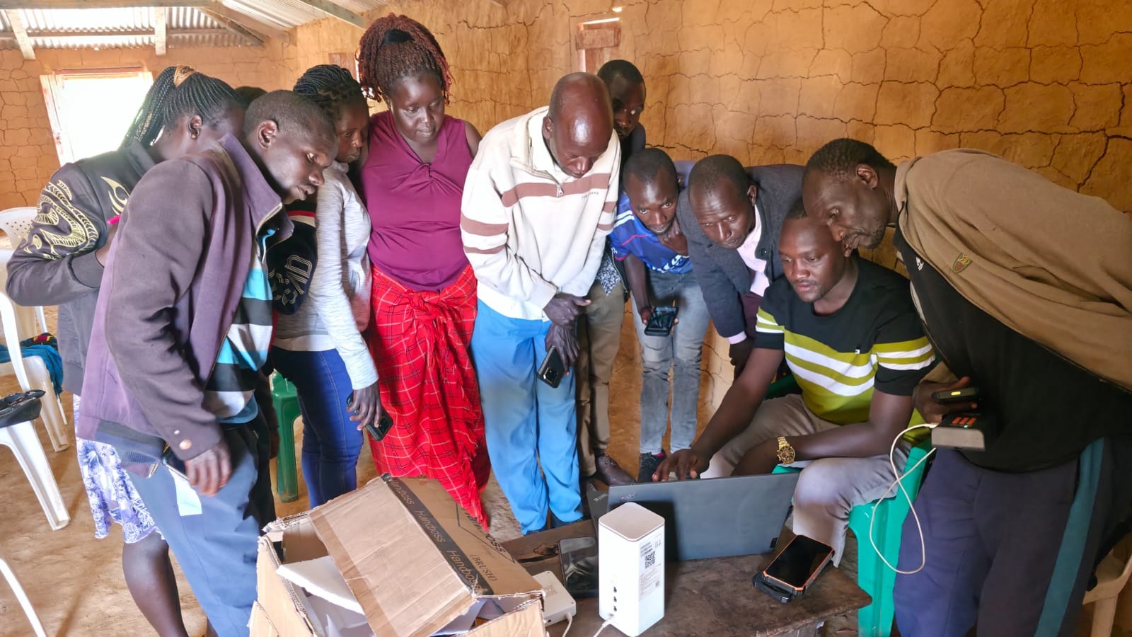
Elias' reflections echo something we've been seeing in communities around the world. His experience in Kenya is part of a growing movement. Just as Indigenous communities have shared knowledge, skills, and customary practices with one another for centuries, CoMapeo and other methodologies for territorial defense are becoming part of that ongoing tradition of exchange. We know of trainings in Peru, Brazil, Suriname, Tanzania, and the Solomon Islands where CoMapeo has been shared between Indigenous allies.
Stories like Collins' and Elias' remind me that some of the most meaningful outcomes of our work happen when we're not in the room. When communities choose to share their knowledge with one another, CoMapeo becomes more than a tool—it becomes part of a growing network of Indigenous leadership, relationships, and mutual support.
If we want to see more of these exchanges, we need to invest in the people leading them. That means ensuring Indigenous communities have access to the resources to organize, teach, and learn from one another. They know where the need is, who their allies are, and how best to strengthen the networks that will sustain this work for generations to come.